As 3D printing, 3D modeling, and 3D scanning become more intertwined, it’s important to look on the margins and check out what’s going on in the periphery of each of these technologies to see what’s new. 3D modeling is an integral part of the 3D technology ecosystem, and as we saw last week at Build 2015, software is leading the way to the overall coherence between 3D modeling and 3D scanning. It’s important to keep your eyes on the horizon, to keep track of what’s coming as we head towards a mixed reality/reality computing future. As you will see, the impact of 3D technology will be felt in many different areas, including disaster relief.
Glacier researchers at Ohio State University and University of Minnesota are using their software code Extraction for TIN-based Searchspace Minimization (SETSM) in collaboration with powerful supercomputers at Ohio Supercomputer Center in order to aid earthquake relief and recovery efforts in Nepal. SETSM software and supercomputers are generating high-resolution, 3D digital surface maps of the Nepali terrain around Kathmandu. These maps aid in rescues and will eventually help in long-term stabilization efforts for the region.
The deadly earthquake that struck Nepal on April 25 has already killed more than 7,000 people and many are still missing. The urgency of Nepal’s need for effective mapping technology gave the SETSM team priority at the Ohio Supercomputer Center. The team was immediately given up to 60,000 hours on the flagship OSC supercomputer system.
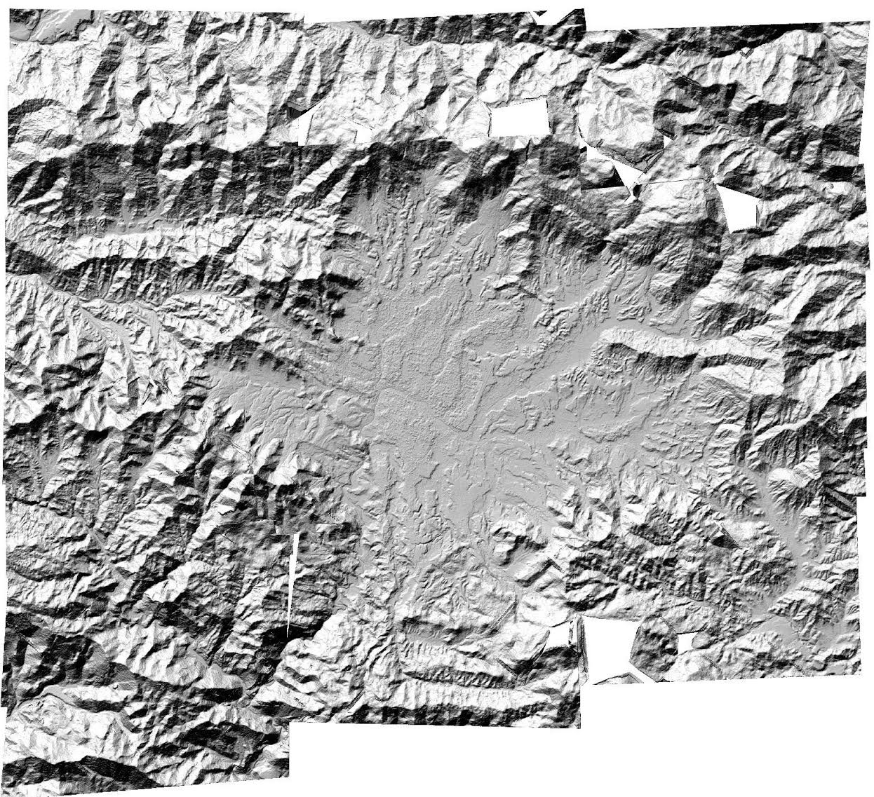
The SETSM software generates Digital Terrain Models (DTM) by applying its algorithms to sets of overlapping pairs of high-resolution satellite images. The images are then taken by WorldView satellites and distributed by the Polar Geospatial Center at the University of Minnesota. Ohio State University’s Byrd Polar and Climate Research Center reports that they have made progress producing a mosaic model of the Kathmandu area with measurements at eight-meter intervals, but the work isn’t quite finished.
Myoung-Jong Noh, a member of the Glacier Dynamics Research Group at the Byrd Center explains, “Besides improving on this DTM, we will be processing the entirely useable archive of WorldView stereo imagery over Nepal, starting this week, in order to expand coverage.”
How do scientists build and perfect Digital Terrain Models so they can actually aid in saving lives? The DTMs are constructed with photogrammetric techniques, which use imagery analysis and remote sensing to model the relative 3D position of the terrain. The DTMs rely on satellite-positioning models to locate the surface in space. Because the models are derived without ground control, the accuracy of the DTM is usually within several meters in the vertical dimension. Therefore, the work that is left to the Byrd Center team this week is to correct errors and edge artifacts in the current DTMs in order to more accurately map out the local Nepali terrain for rescuers and rebuilders.
As 3D printing, 3D modeling, robotics and 3D scanning head in the same direction, we can be sure that disasters like the earthquake in Nepal will stir scientific minds around the world to use technology to better prepare, relieve and help people in future recovery efforts.
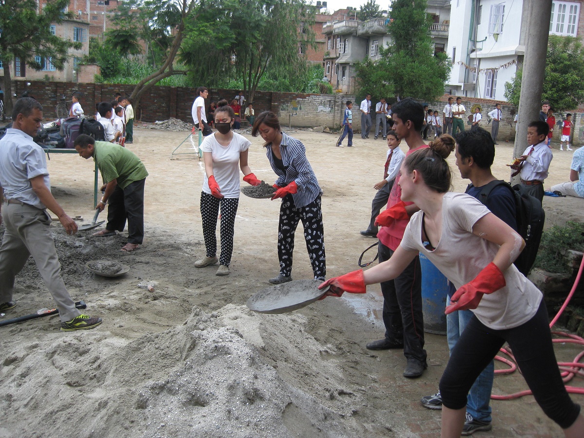
If you are interesting in helping those affected by recent events in Nepal, click here.