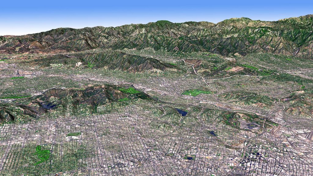
A team of researchers from the University of Chicago, Seoul National University, and the California Institute of Technology has conducted a series of seismic experiments using 3D printed models of the Los Angeles sedimentary basin to better understand the hazards of earthquakes.
The team presented its findings at the American Geophysical Union (AGU)’s Fall Meeting 2021 yesterday, revealing that the highest frequency seismic waves which are the most destructive to buildings were actually attenuated – or reduced in force – within the models’ basin, contradicting the long-accepted suggestion from numerical modeling that ground shaking is amplified within basins.
Earthquake modeling for basins
Sedimentary basins are geological structures that originated as depressions and have become filled-in with lower-density material over time, such as that deposited by landslides and rivers.
Earthquake-prone cities such as Los Angeles, Mexico City, and Santiago are all located in naturally occurring sedimentary basins, within which traditional numerical modeling techniques suggest ground shaking is amplified.
Often used to understand ground motion in sedimentary basins, numerical modeling methods are often limited in their spatial resolution and constrained by the equations inputted. Reproducing the small-scale details of sedimentary basins within a numerical model is challenging, due to trade-offs between a model’s spatial resolution and the computational time required to run it.
To address these drawbacks, University of Chicago Seismologist Sunyoung Park and her colleagues turned to 3D printed models to more rigorously investigate how seismic waves travel through sedimentary basins.
Simulating earthquakes with 3D printed models
Park and her team began 3D printing models of the Los Angeles basin after realizing they could reproduce relatively small natural variations in density within the models, corresponding to around 10 meters in size in real life. According to the researchers, the 3D printed models enabled a roughly 10 times better spatial resolution than a numerical model of the same landscape could achieve.
The team experimented with rubber and plastic materials to form the basis of their models and eventually settled on stainless steel due to its rigidity and subsequent larger range of material properties. They used an SLS 3D printing process to lay down successive layers of powdered stainless steel which was then heated and sintered together using a laser.
The team altered the printing parameters, such as the speed of the sintering laser and powder, in order to control the porosity of the model and be able to print models with a range of densities. The researchers fabricated models measuring 20 x 4 x 1 cm which captured a range of geological structures within the 50km-wide Los Angeles Basin, at a scale of 1 to 250,000.
Once the structures had been printed, the team set about conducting a series of seismic experiments to understand how seismic waves traveled through the model basin. The researchers generated tiny earthquakes by bombarding the 3D printed models with megahertz-frequency laser light. The thermal energy of the laser pulses heated the models and caused differential stresses that translated into movement.
The team recorded the ground motion at the top of the models in tenths of nanometers, and found that higher frequencies of ground motion in the models were generally reduced within basins. In fact, the seismic waves tended to be selectively reflected back at the edge of the basin.
The findings contradict the numerical modeling predictions that sedimentary basins are amplifiers of ground motion, leaving more areas to investigate using 3D printed models going forwards. For instance, during their experiments, the scientists also found that the laser pulses triggered airborne waves that skimmed over the top surfaces of the models. As airborne waves are heavily affected by local topography, follow-on work could include adding features like hills and mountains to the models’ surfaces and measuring how airborne waves propagate.
Further information on the study can be found in the paper titled: “Earthquakes ripple through 3D printed models of Los Angeles”, published by Eos. The study is co-authored by S. Park, C. Shin, Y. Kim, and R. Clayton.
3D printed model applications
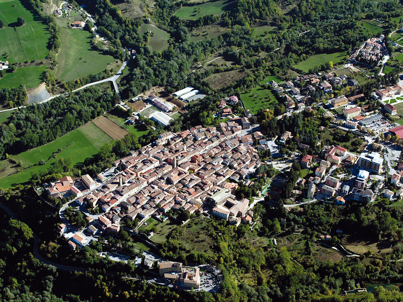
Aside from this most recent development, 3D printing has been deployed in relation to earthquakes in the past. Back in 2015, a Napa local produced a 3D printed visual representation of the Peak Ground Velocity (PGV) information of a 6.0 magnitude earthquake that struck Napa, near San Francisco, on 24th August. The following year, 3D printing was leveraged to immortalize the Italian town of Amatrice in the form of an intricate model after it was struck by an earthquake that killed 297 people.
Aside from earthquakes, 3D printed models have found applications in a variety of other areas. The most prominent is anatomical models for the medical and dental sector, where 3D printing enables full-color realism and accuracy, enables the planning of complex surgeries, and helps patients better understand their treatment.
Elsewhere, 3D printed models have been used to aid wound dressing R&D, aid the development of treatments for infected burns, and help law enforcement officials combat wildlife trafficking.
Subscribe to the 3D Printing Industry newsletter for the latest news in additive manufacturing. You can also stay connected by following us on Twitter and liking us on Facebook.
Looking for a career in additive manufacturing? Visit 3D Printing Jobs for a selection of roles in the industry.
Subscribe to our YouTube channel for the latest 3D printing video shorts, reviews and webinar replays.
Featured image shows the Los Angeles Basin imaged and mapped by NASA’s ASTER Earth-observing instrument. Photo via NASA JPL.